INSPECTOR is a GIS platform that helps decision-makers and operators managing fleet and emergencies. INSPECTOR empowers users to make informed decisions swiftly and effectively during critical situations. Its intuitive design makes it easy to use for both experts and newcomers.

Modular and ready to use, INSPECTOR connects with TETRA, smartphones, and real-time data sources

Access from any device using any browser - no installation needed

Admins can manage user permissions and restrict access to features and assets in real time

Enterprise-grade security with 99.999% uptime, built on stable open-source technology
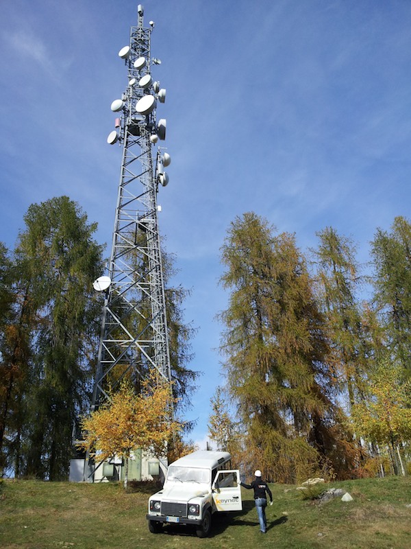
Track vehicles, radios, drones, and helicopters in real time via GPS, TETRA, and mobile

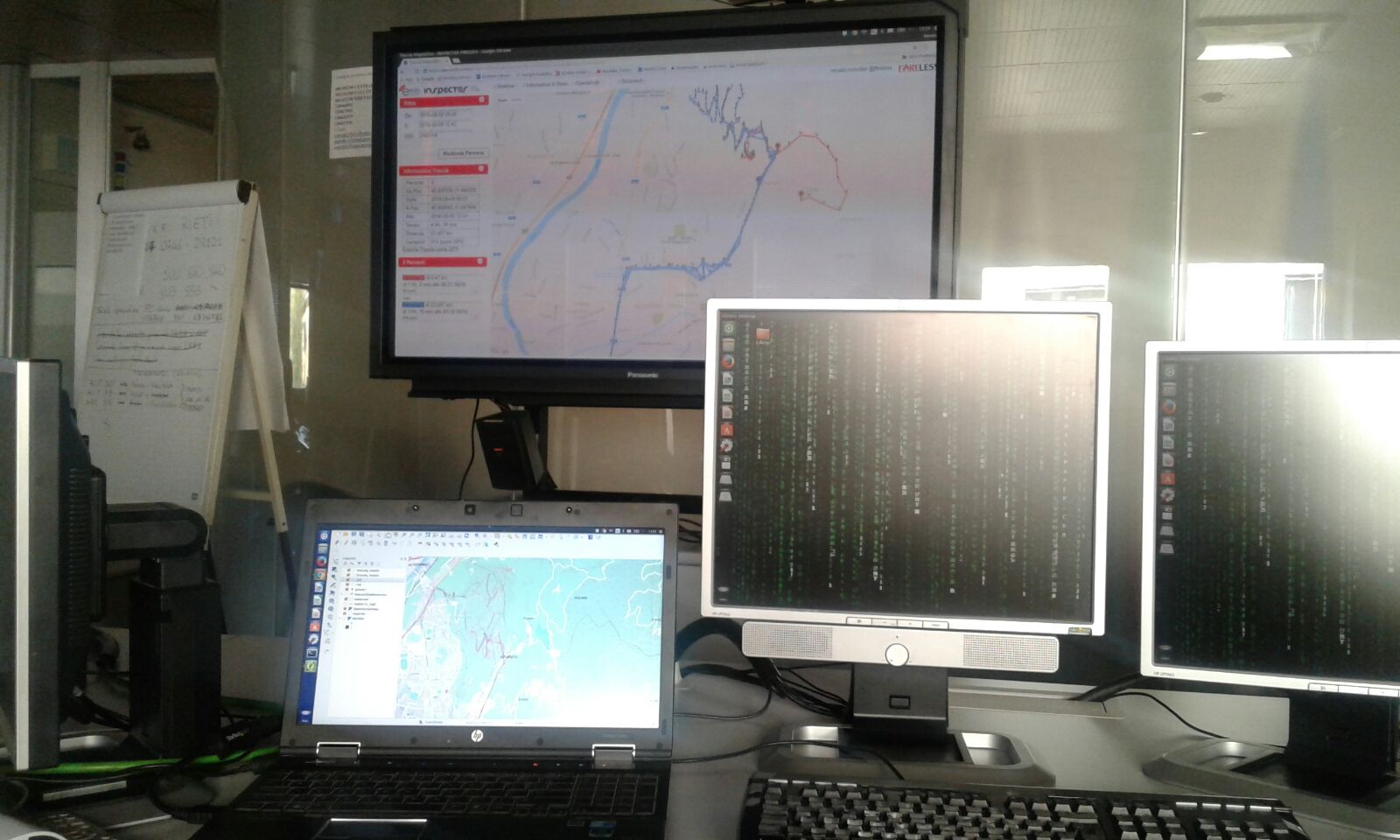
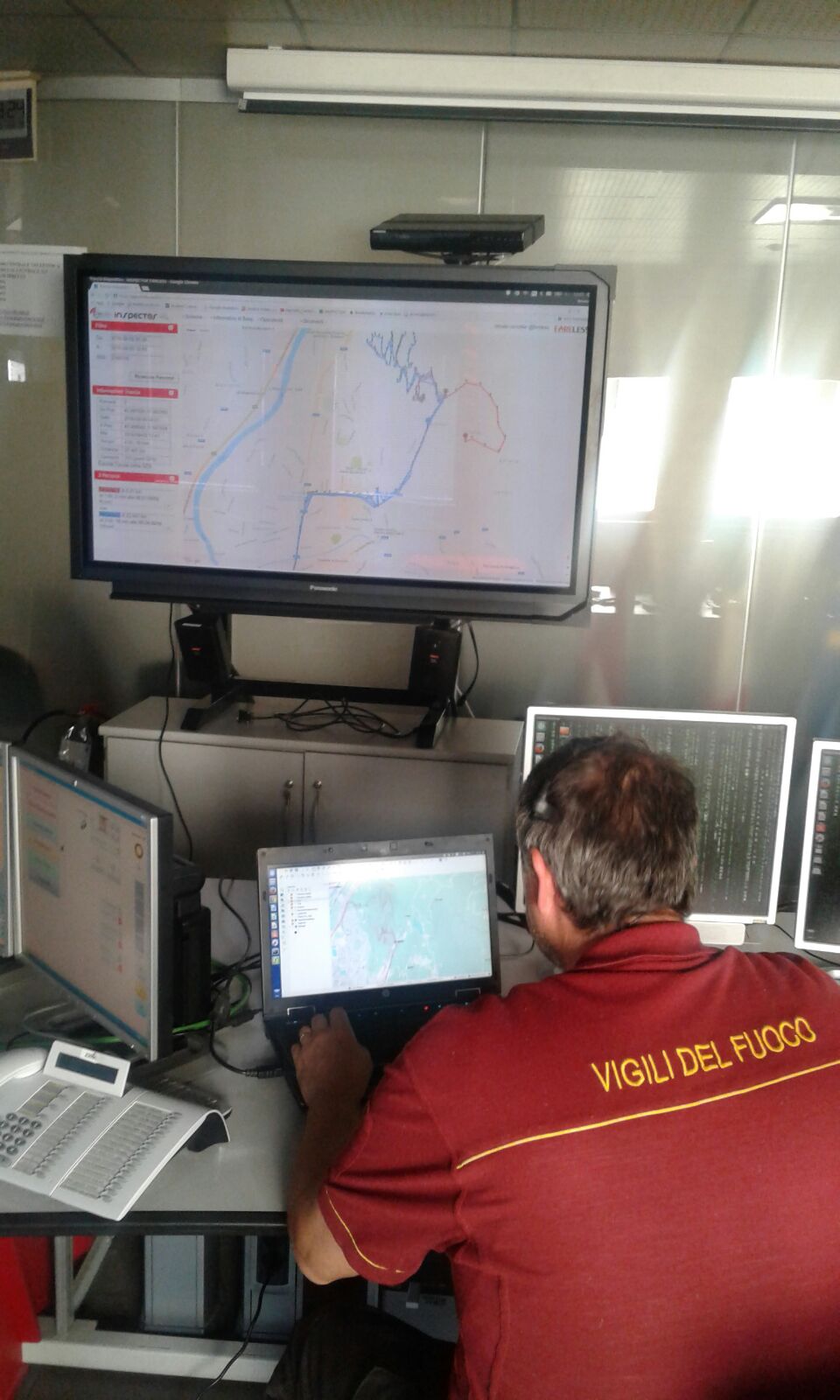
Search, view, and generate stats from past operations

Identify routes from raw GPS data using space-time analysis—no metadata needed

Assets and events are grouped in dynamic hierarchies with map icons that adapt to your view
Tracked Devices
Positions in real-time
Active Users
Connected Sensors
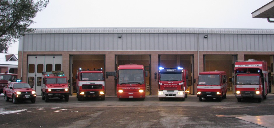
INSPECTOR stands out in efficiently managing expansive fleets, encompassing thousands of vehicles and personnel.
Each asset is meticulously categorized based on its typology and relevant attributes, facilitating advanced analytics and decision support functionalities. Despite its robust capabilities, INSPECTOR operates seamlessly even with limited asset information, ensuring streamlined operations and effective resources utilization
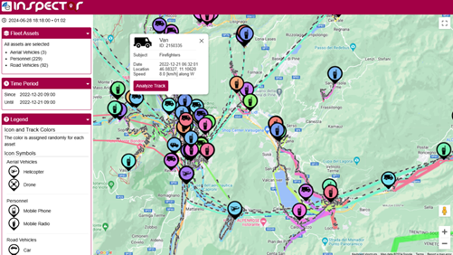
Vehicular radios & GPS Trackers
Handheld radios (e.g., TETRA)
Helicopters and UAV
with INSPECTOR MOBILE App
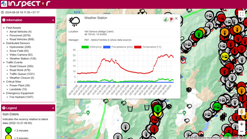
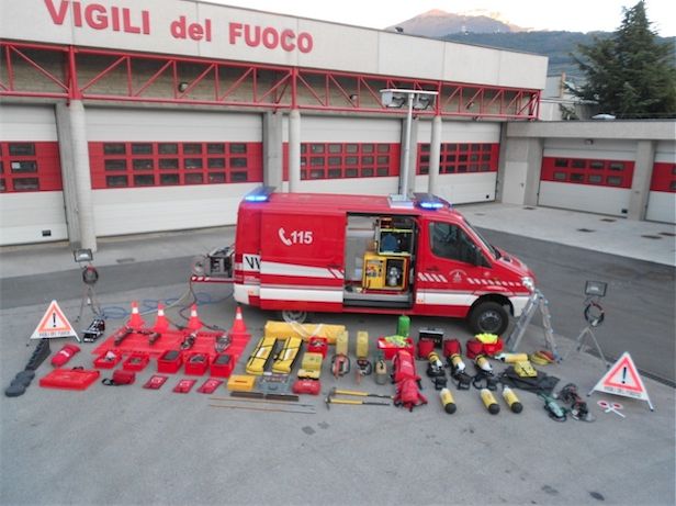
INSPECTOR seamlessly integrates environmental monitoring by means of localized information gathered from distributed sensor networks in the field with real-time external data sources. This information is organized into distinct layers within the system, facilitating visualization and utilization for advanced analytics and decision-making support. Sensors and live events are aggregated into different map layers, providing users with comprehensive insights.
Information (data, charts, images, streams) are easily accessible within the interactive map
Closed roads, queues, road works and other traffic events are useful to the operators for routing vehicles and coordinating the fleet
Public security video-cameras and webcams are localized and the stream is integrated in the interactive map
Weather conditions and forecasts are valuable for preventing, monitoring and managing emergencies
INSPECTOR supports additional heterogeneous sensors and data from IoT networks and online data-sources
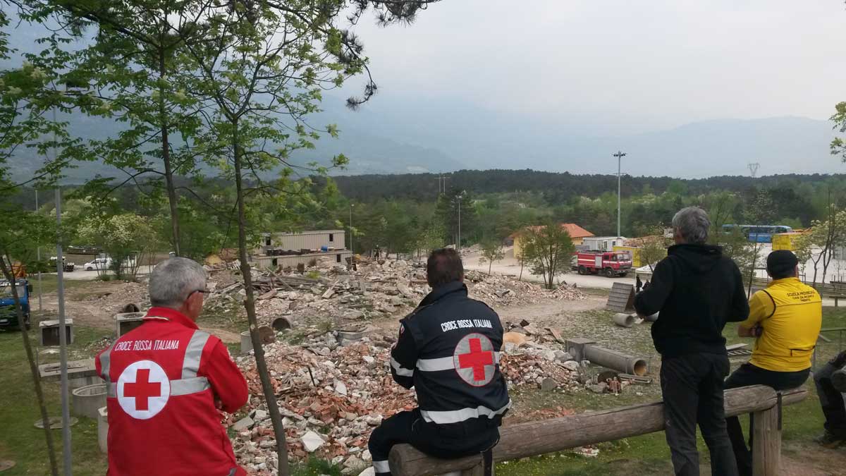
INSPECTOR serves as a robust tool for planning and coordinating operative missions related to both technical tasks and emergency response scenarios. It empowers decision-makers by assisting them in the selection and deployment of assets required for each mission.
The system optimization engine takes into account various objectives (e.g., efficiency, responsiveness, cost), enabling operators to explore trade-off solutions visually


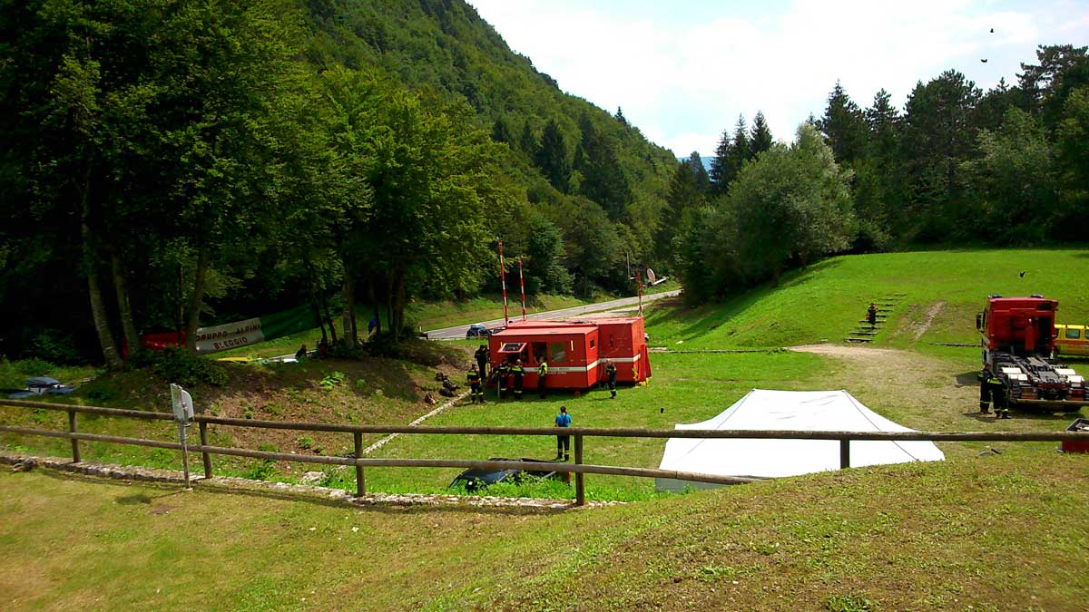
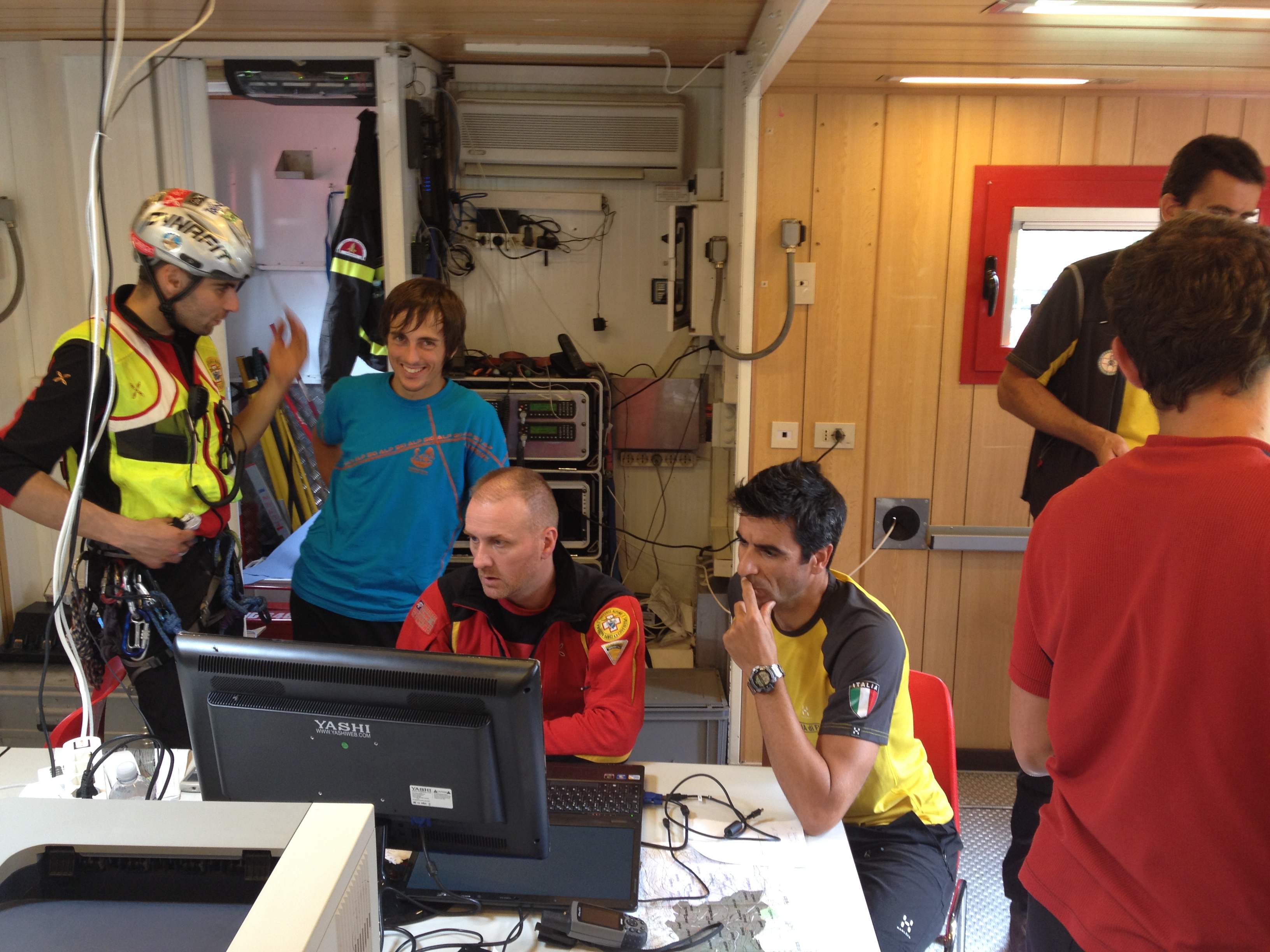
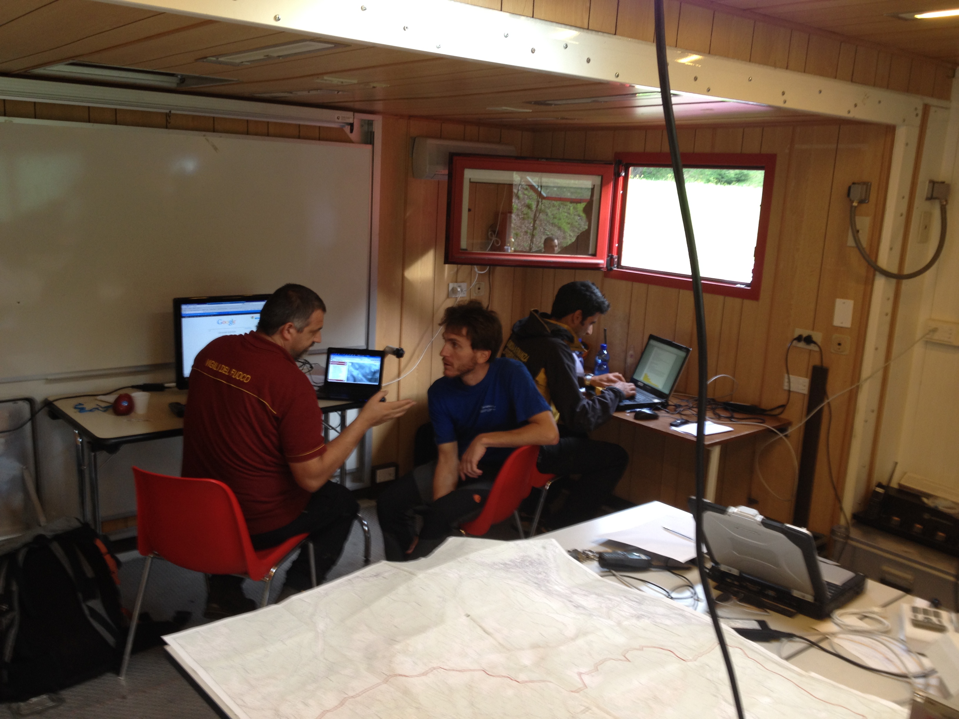


When every second counts, INSPECTOR transforms chaos into clarity. This advanced GIS platform delivers live maps, real-time fleet tracking, and automated alerts that ensure optimized asset selection for dispatch...
Read more
Considering a fire emergency involving multiple buildings, the ELEDIA Optimization method outperforms standard approaches (such as smart ranking)...
Read more